Meteorological Infrastructures
This project began with in depth research in the domestication of military drone technology. In 2012 Rodney Brossart became the first person arrested on American soils with evidence provided by drones — his crime, one of the oldest in history, cattle theft. While this arrest occurred in North Dakota, research eventually lead to the Arizona and Sonora border. This region is ripe for investigation into the militarization of the country at large. In 2006, the largest border fence was constructed between Mexico and the US. This was done despite warnings of increased migrant deaths. In fact, the fence purposefully channels migrants away from cities with high latino populations (within which they can blend) and into harsher desert environments. This blockade is enforced by Border Patrol agents whose number continue to increase despite varying reports on their effectiveness.
Military technology has further increase the surveillance of this border region. Fort Huachuca, known as the eyes and ears of the military is located in southeastern Arizona. This base is also home to Aerostat and drone surveillance operations. Four hours drive west of Fort Huachuca is the Barry M. Goldwater Air Force Test Range. While these militarized zones have clear spatial implications on the terrain of Arizona, what is less tangible is their effects on the airspace overhead. The military has been criticized for their tactics of appropriating land in the past, however, the same has not been true of their appropriation of airspace. This is done through demarcating Special Use Airspace (SUA) which prohibit commercial and recreational flights to enter these zones. SUA’s use range from live munitions testing and training to drone surveillance flight paths.
Assessing an SUA map of Arizona, one will quickly notice that nearly the entire border zone is reserved for military operations. Coupling this with Fort Huachuca’s twenty year plan, we see that the intention is to create an unmanned aerial vehicle (UAV) corridor connecting their base with the Barry M. Goldwater Test Range. This essentially means Arizona will be the first state to have its entire border reserved for SUA allowing increased drone surveillance.
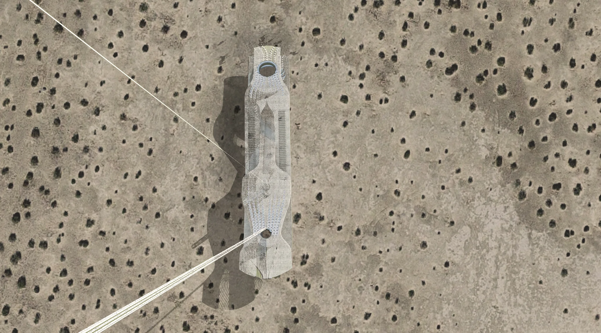
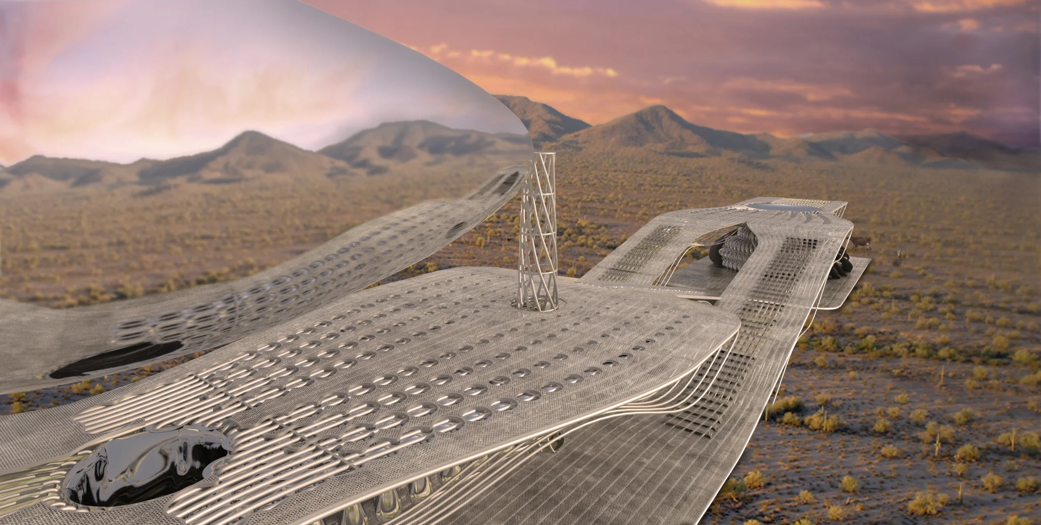
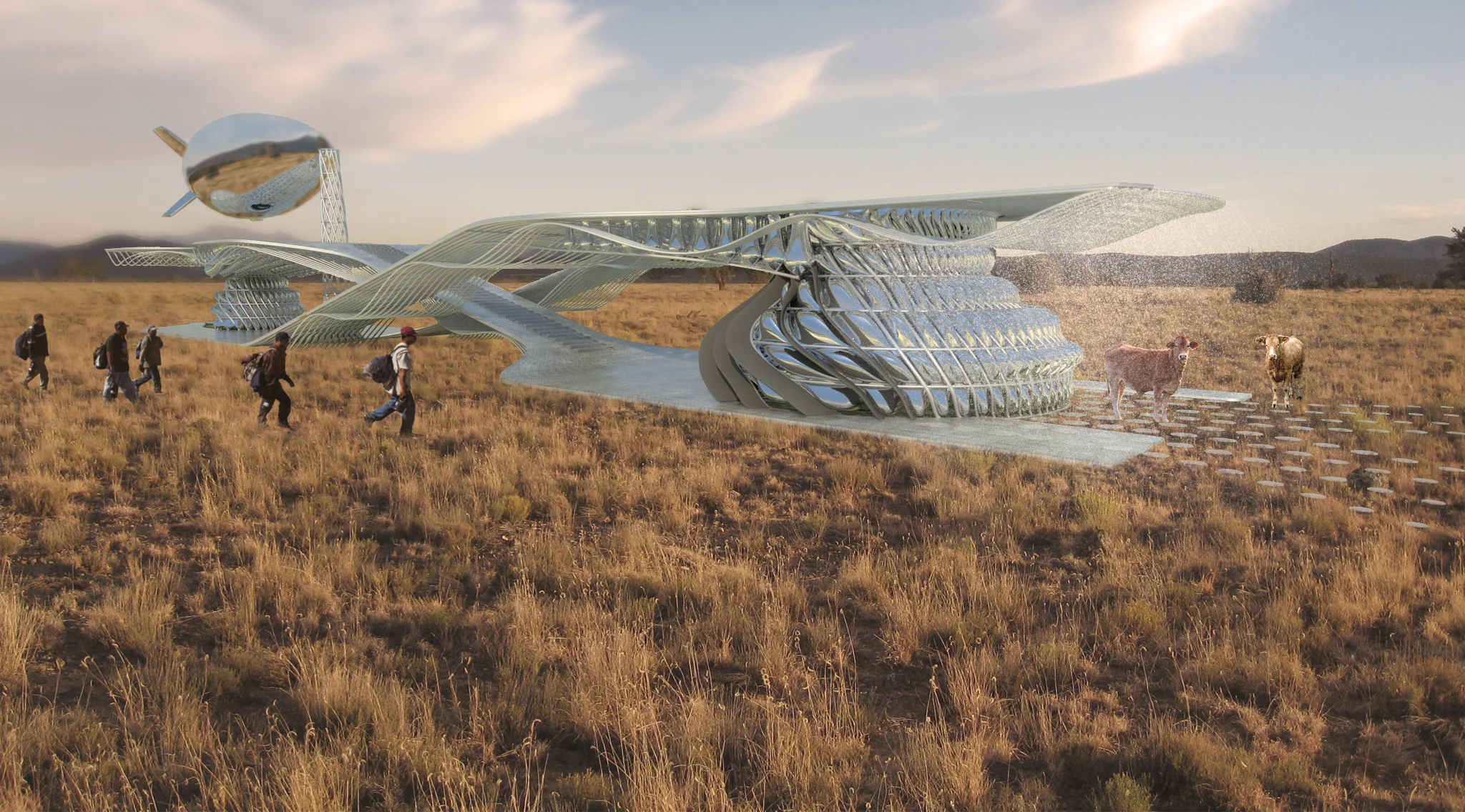
The Meteorological Infrastructure project imagines the repurposing of existing oil pipelines and the introduction of new pipelines and atmospheric watering stations as a new water infrastructure to combat desertification and aid in human migratory flows. Migrants currently use pipelines as a navigational tool, knowing that they lead north and to major urban areas. Furthermore, their constructed easements and private properties mean it is less likely to run into Border Patrol Agents. However, this channeling does lead to target areas which can be monitored in a similar fashion to how border patrol currently monitor the major roads in the area. Through dispersing the pipeline into a network with nodes placed 3-12 miles apart, migrants will always be within a days walk to a water source. This dispersal to 500 nodes also provide a challenge to surveillance due to quantity. At night when the Border Patrol Agents switch to thermal imaging cameras , the water infrastructure comes to life creating corridors of mist which mask migrants thermal image under the pretense of fighting desertification.